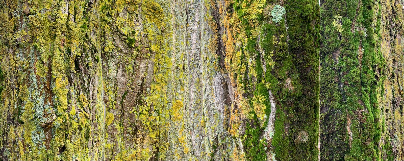
This picture alludes to a few areas related to my with remote sensing … This photo work alludes to different concepts used in earth observation (EO) and marked the start of my (re) preoccupation with remote sensing (previously studied during a physics degree).
The photographs span the circumference of the tree trunk – projection of curved surfaces is fundamental to earth observation. Military-developed cartography and imaging techniques gradually filter their way down to citizens, such as ‘stitching’ – the now familiar seamless creation of one image from several. Here I manually and loosely ‘stitched’ the photographs together, something now done very quickly and capably in image editing applications.
While maps of ‘vegetation health’ of trees (based on how green they are) show seasonal variation, trees are also augmented by lichen and moss differently throughout the year. This goes largely ignored; in environmental modelling a tree is often simplistically reduced to its carbon storage (sequestration) and biomass. Even more peculiar is the measurement of biomass only above the ground, ignoring the roots, and should we not also include fungal networks engaged with the tree? I became curious as to how the ecosystem that trees support (and vice versa) as a habitat adds to a tree’s ‘ecological value’. Being critical of the extractive ‘ecosystem services’ perspective led to Ground Truth.